


“They Can See Everything We Do”: China Captures Crystal Clear Images Of U.S. Satellite From Space As Orbital Surveillance War Escalates Between Superpowers
 By
Adam Kovács
By
Adam Kovács
| IN A NUTSHELL |
|
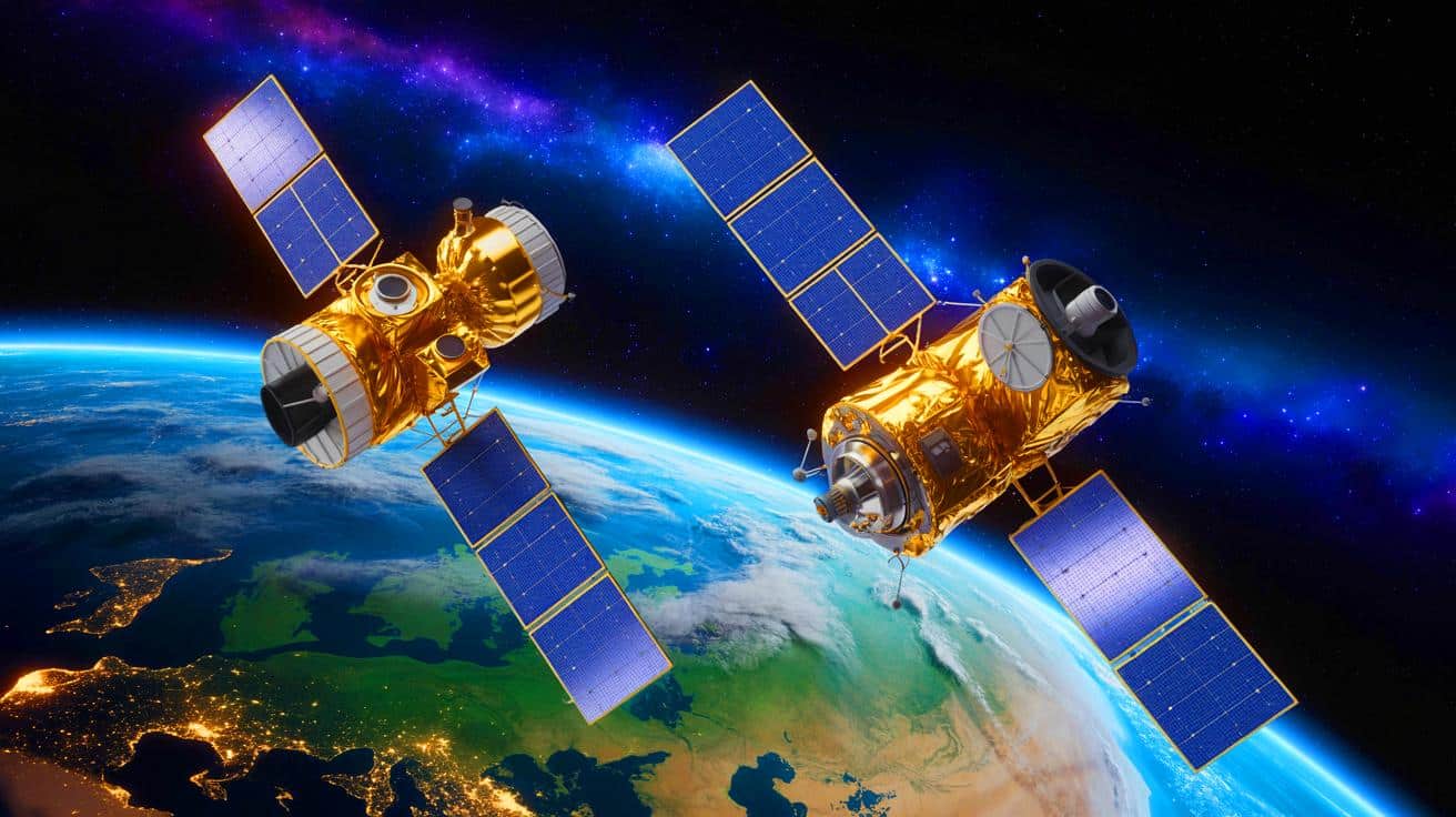
In an unexpected twist in the realm of space surveillance, China has recently turned the tables on the United States by capturing images of a U.S. satellite. This move comes after the U.S. had previously released photographs of Chinese space assets. On September 8, a Chinese Jilin-1 satellite took images of an American WorldView Legion satellite from approximately 31 miles away. This action highlights the growing capabilities and tensions in the rapidly evolving domain of space. As both nations continue to advance their orbital technologies, the implications for global security and diplomacy remain significant.
The Implications of Satellite Surveillance
The recent release of images by China marks a significant development in the ongoing exchange of satellite surveillance between global superpowers. Just two months prior, Maxar Intelligence, a U.S.-based company, had released high-resolution images of China’s Shijian-26 satellite. Captured by Maxar’s WorldView Legion satellite, these images were taken from distances ranging between 18 and 46 miles. The clarity of these photos, with resolutions as fine as 0.75 inches, underscores the advanced capabilities of current satellite technology.
Such high-resolution imagery allows nations to closely monitor the technological advancements and movements of each other’s space assets. This capability is not only a testament to the technological prowess of these nations but also serves as a tool for strategic planning and defense. As Susanne Hake of Maxar highlighted, the quality of these images showcases just how advanced orbital observation has become, raising questions about the potential for further militarization of space.
China’s Expanding Satellite Capabilities
Chang Guang Satellite Technology, China’s first commercial remote sensing company, is rapidly expanding its satellite capabilities. The company operates over 100 Jilin-1 satellites, which boast a resolution of 0.5 meters and can revisit any location on Earth within 10 minutes. This rapid expansion is indicative of China’s push towards establishing large-scale satellite constellations, with production capabilities reaching 200 remote sensing and 200 communication satellites annually.
In addition to its vast satellite network, Chang Guang has demonstrated the ability to track various activities, such as rocket launches and military parades. The company has also conducted ultra-high-speed laser communication tests, achieving speeds of 100 gigabits per second between satellites and ground stations. These capabilities are not merely symbolic; they provide China with the means to conduct real-time tracking and identification of orbital activities, which are crucial for both defense and strategic operations.
The ability to photograph a moving satellite requires precise control and tracking, overcoming the challenge of high relative velocities in orbit.
Increasing Tensions in Space
The exchange of satellite imagery between the U.S. and China underscores the growing tensions in space. The establishment of military branches dedicated to space by both nations highlights the increasing importance of space as a strategic domain. The United States Space Force, established in 2019, and China’s People’s Liberation Army Aerospace Force, created in 2024, are both indicative of this shift.
Incidents in recent years, such as SpaceX’s Starlink satellites coming dangerously close to China’s Tiangong space station, have already sparked friction. In response, Beijing has urged Washington to ensure safer operations and adhere to international laws. As both nations continue to enhance their orbital surveillance and tracking capabilities, the potential for misunderstandings and conflicts increases.
Experts emphasize the need for clear rules of behavior in space to prevent escalation into open conflict. The combination of emerging technologies like laser weapons and high-resolution imaging satellites could potentially lead to both offensive and defensive engagements in orbit. Without established guidelines, the militarization of space poses a real threat to global stability.
The Future of Space Surveillance
The advancements in satellite technology and the growing tension between global superpowers raise important questions about the future of space surveillance. As nations continue to develop their capabilities, the potential for space to become a contested battleground increases. This reality necessitates the creation of international agreements and protocols to manage the use of space-related technologies responsibly.
As global powers vie for dominance in space, how will international diplomacy shape the future of orbital activities and ensure a peaceful coexistence?
Continue reading